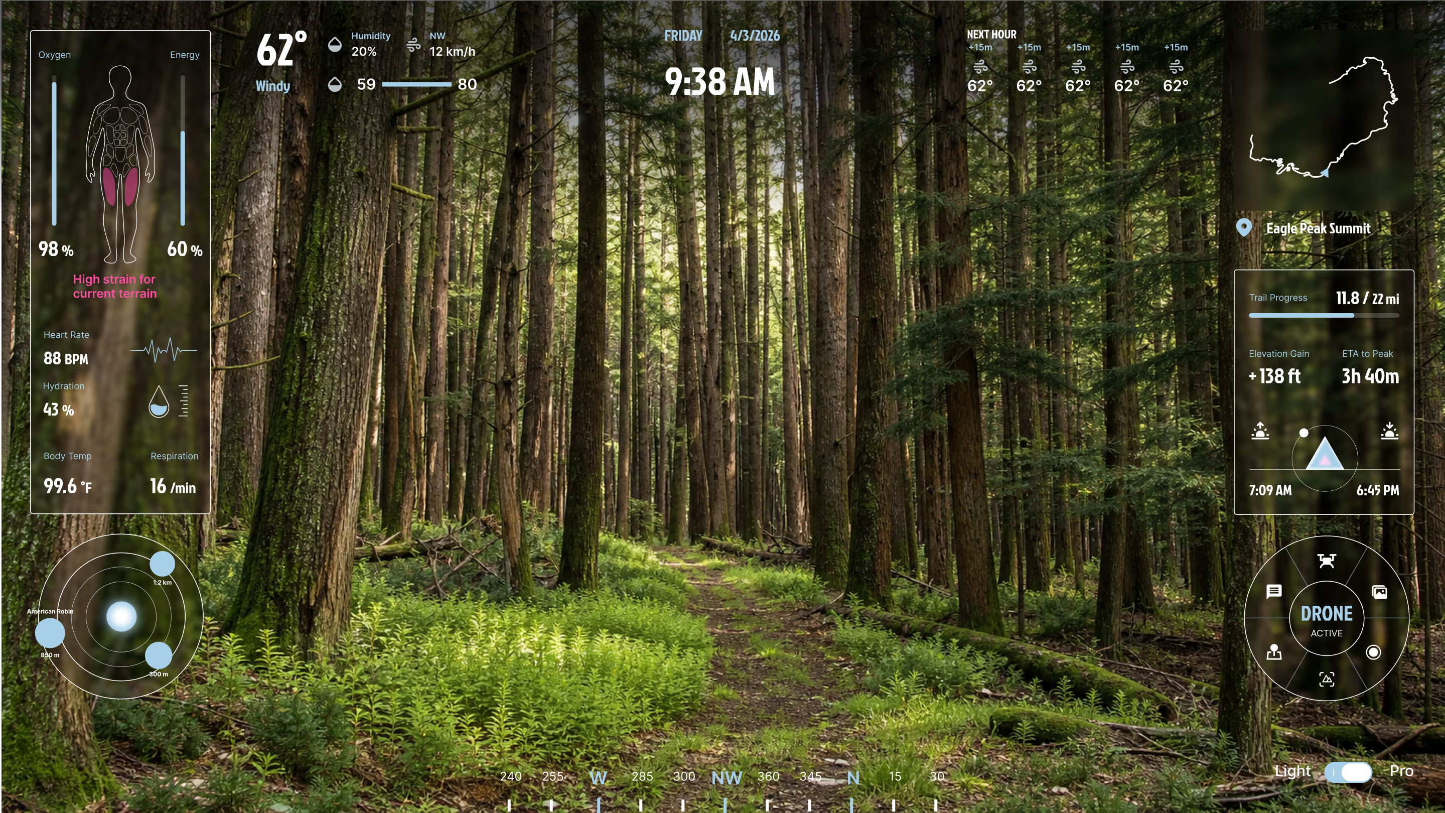
As more people begin exploring the outdoors, hiking remains a challenging experience for novice hikers who often struggle to interpret terrain, assess risks, and make confident decisions in unfamiliar environments. CAIRN reimagines hiking as an adaptive, AI-powered experience that combines hiking glasses, wearable sensors, and an autonomous drone to deliver real-time environmental understanding and personalized guidance. Rather than simply showing where to go, the system helps hikers understand the landscape, monitor their physical condition, and discover the natural world, transforming hiking from navigation into an experience of confidence, learning, and exploration.
CAIRN
Rethinking Hiking Through Real-Time Intelligence
MR-powered hiking system that helps users plan, navigate, explore, and reflect through real-time environmental intelligence
overview
Background
Outdoor recreation has seen rapid growth in recent years, with more first-time hikers entering unfamiliar environments. While access to trails has increased, the complexity of navigating natural terrain remains largely unchanged.
Hiking today relies heavily on static tools, while the environment itself is dynamic and unpredictable.
Navigation Tools
- Cognitive translation burden
- Lack of contextual awareness
- Static representation of dynamic systems
Users are forced to make critical decisions using incomplete and abstract information, increasing uncertainty and error risk
Safety Tools
- Late-stage intervention
- Lack of decision support
- No personalization
Users receive warnings without actionable guidance, forcing them to interpret risk under pressure.
Devices
- Data without insight
- No integration with environment
- Passive monitoring
Users are aware of their data, but not their condition — leading to misjudgment of physical limits
Problem Framing
Insight
Day Hiking
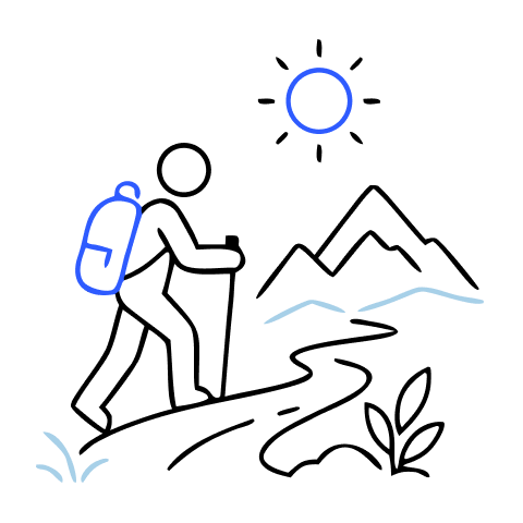
Out and back in a single day, no overnight gear. Includes families, first-time outdoor participants, and urban professionals seeking weekend escape.

Backpacking
Multi-night wilderness travel with high physical demand, permits, water planning, bear-canister rules, and offline map dependency.
Section Hiking
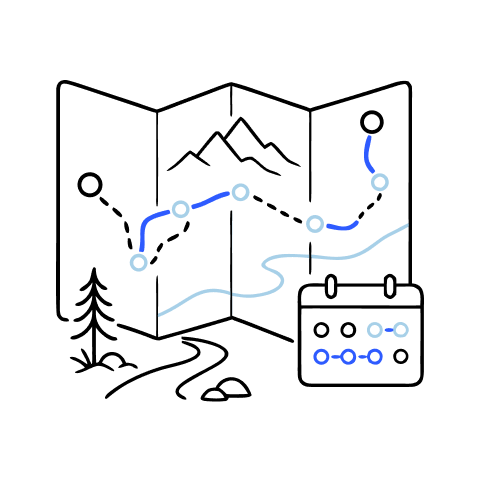
Long trails completed across multiple trips by methodical planners who need continuity across seasons, transport, lodging, and permits.
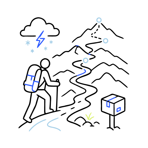
Thru Hiking
Continuous end-to-end trail completion where navigation, resupply, weather, community, weight, and mental health become daily infrastructure.
Novice hikers often enter unfamiliar terrain without the experience needed to interpret environmental signals, leading to uncertainty, poor decisions, and reduced confidence.

01
Navigation Intelligence
Real-time guidance Reduce decision friction Devices free

02
Physical Awareness
Fatigue & pacing Hydration & exertion Injury prevention

03
Environmental Understanding
Terrain interpretation Wildlife & weather emergency alert

04
Exploration & Engagement
Learn anywhere Explore nature in engaging & storytelling manner
Opportunity
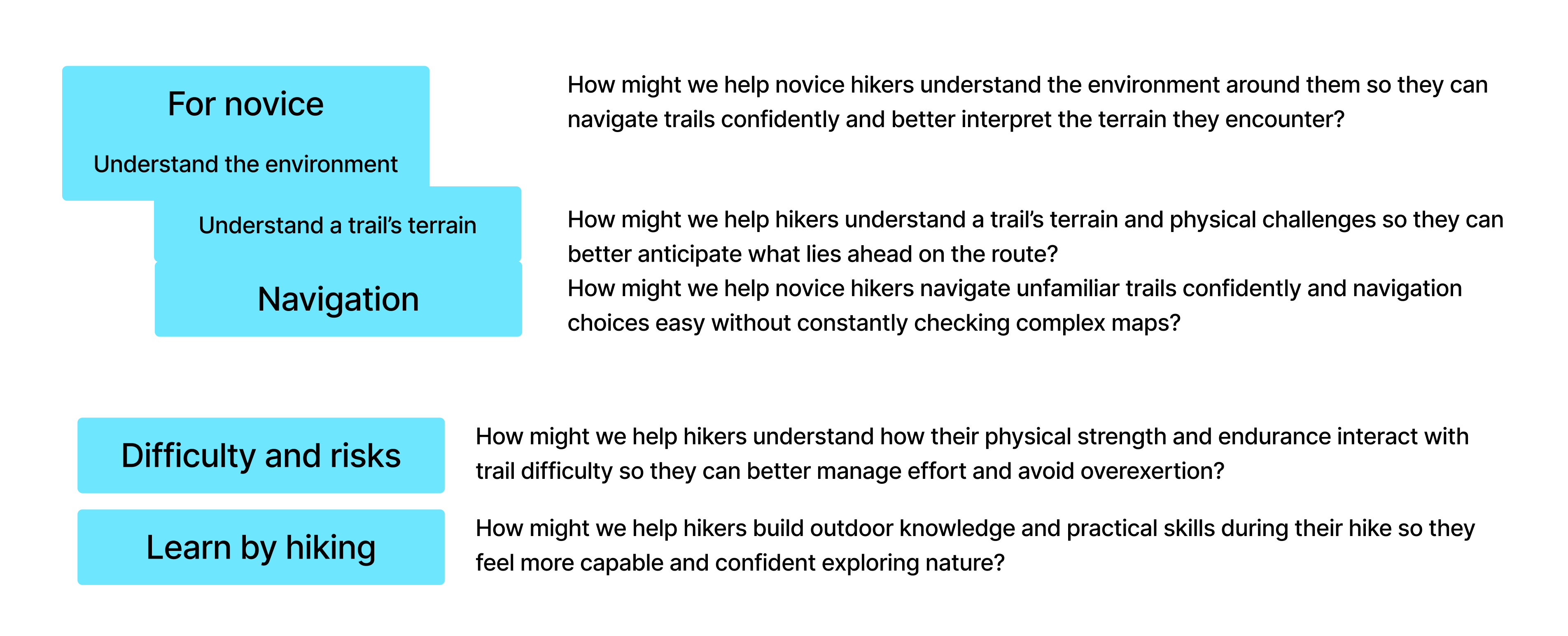
HMW Statement
How might we help novice hikers better understand both the landscape and their own physical capabilities during hiking, so they can navigate unfamiliar trails safely and grow more confident exploring nature?
Ideation

Design Development
Userflow
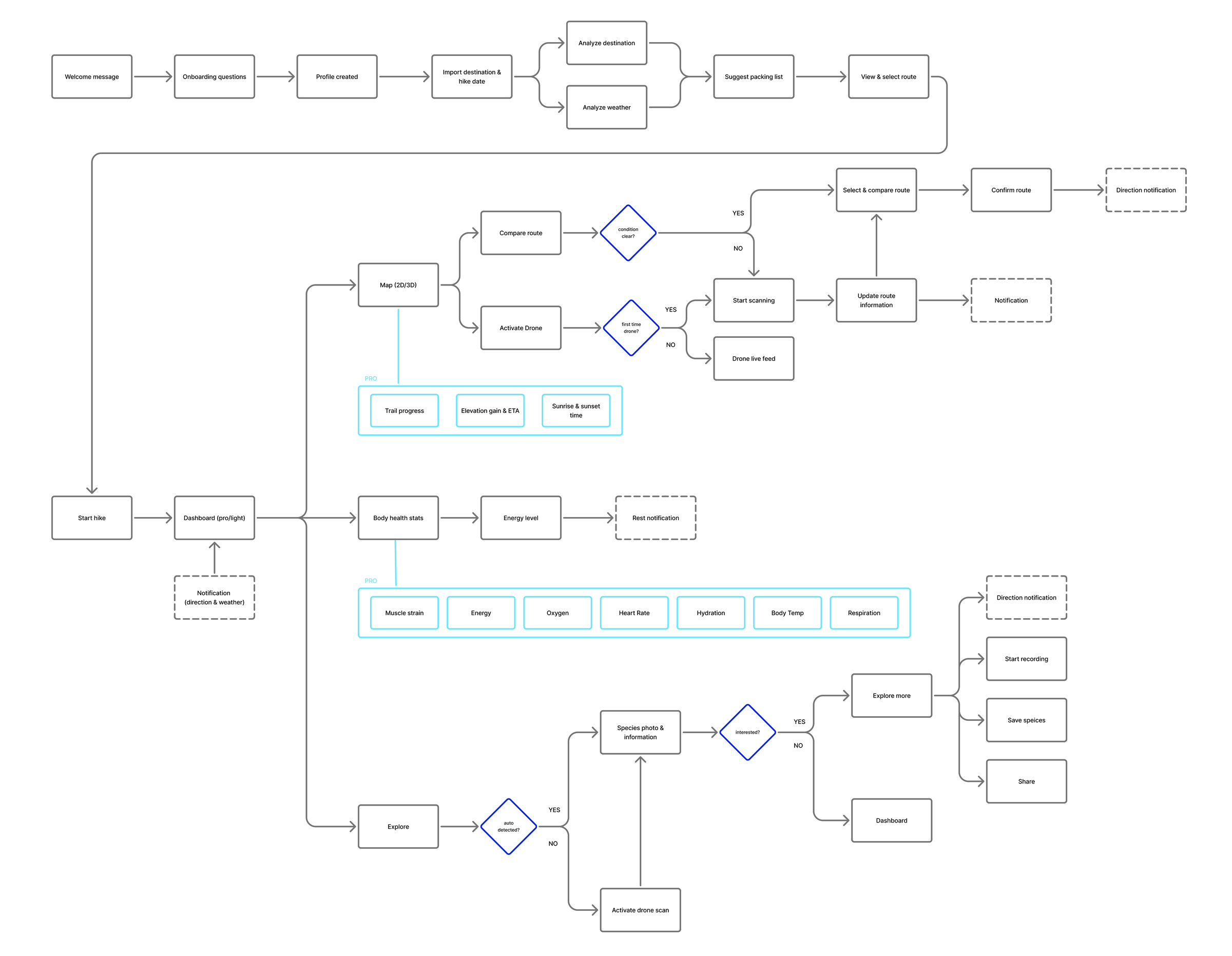
ONE hike, FIVE interactive states
The system changes its density as the hike changes. Planning can be comparative and detailed; the live trail view remains until context or risk makes information useful.

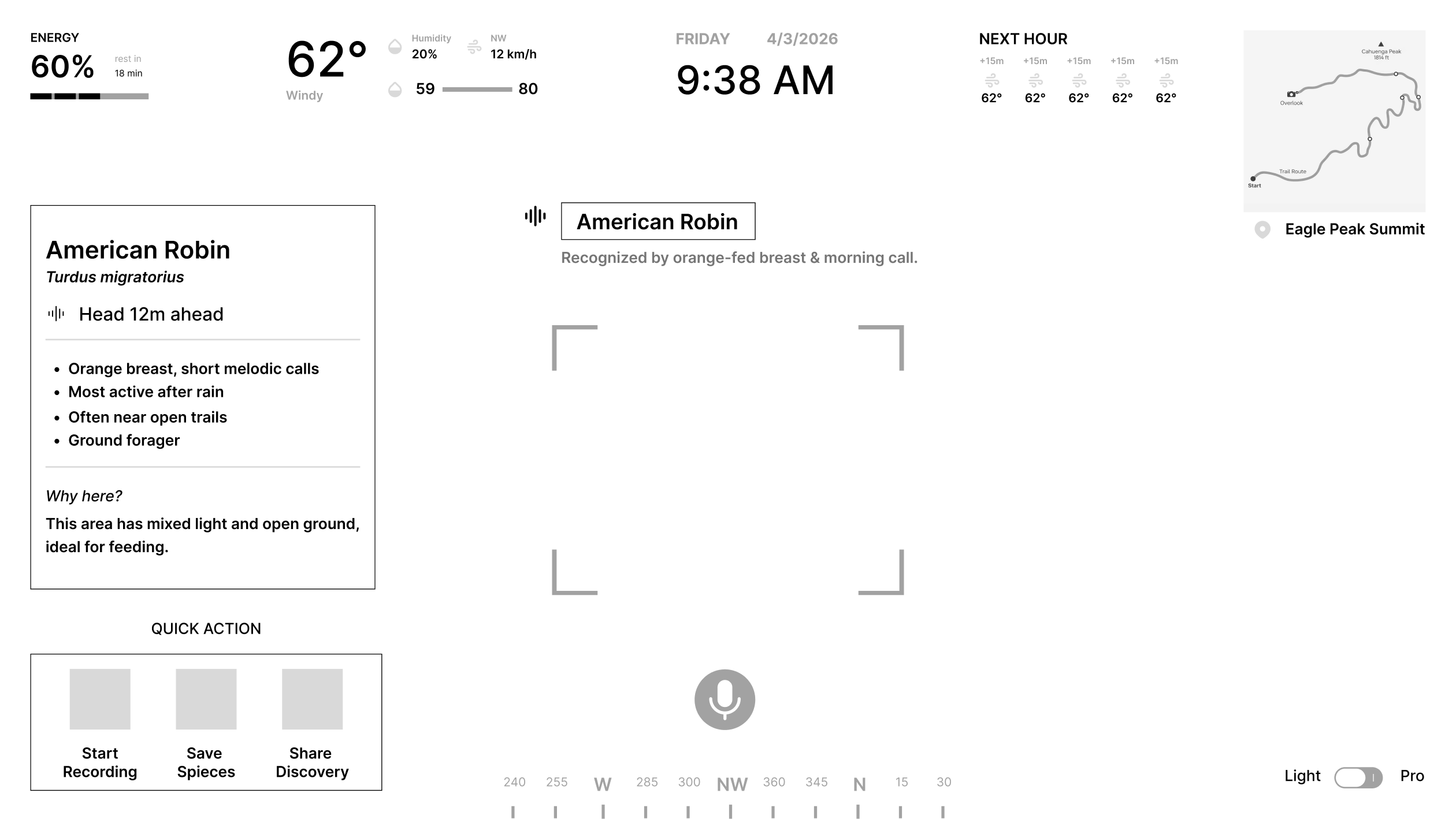
Low Fi
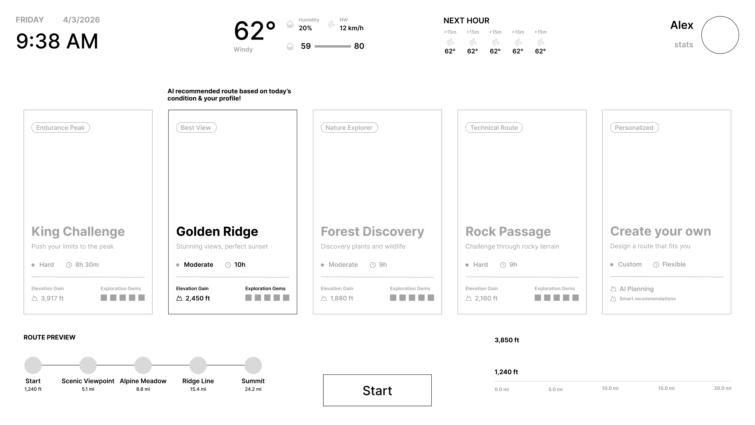
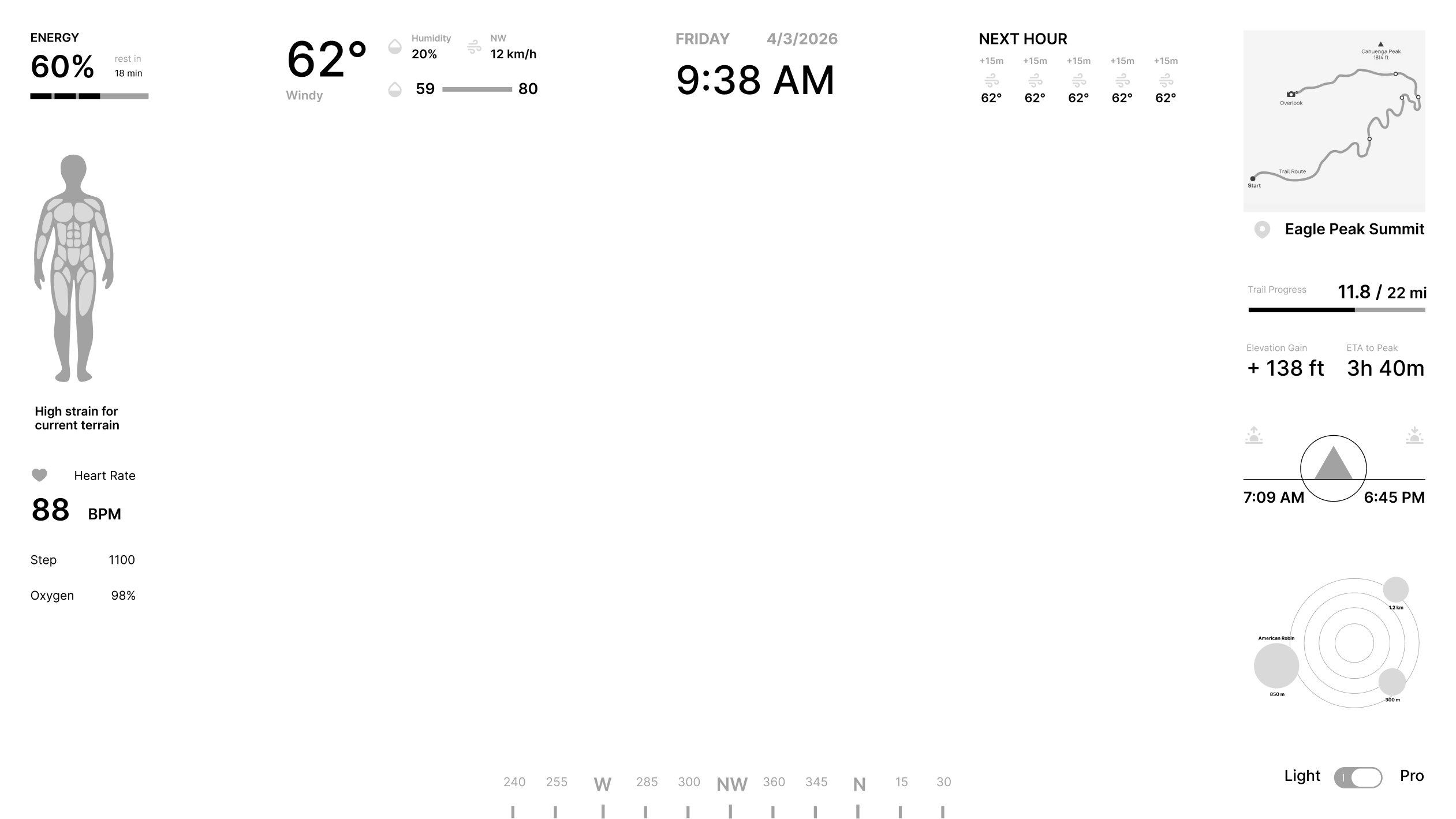
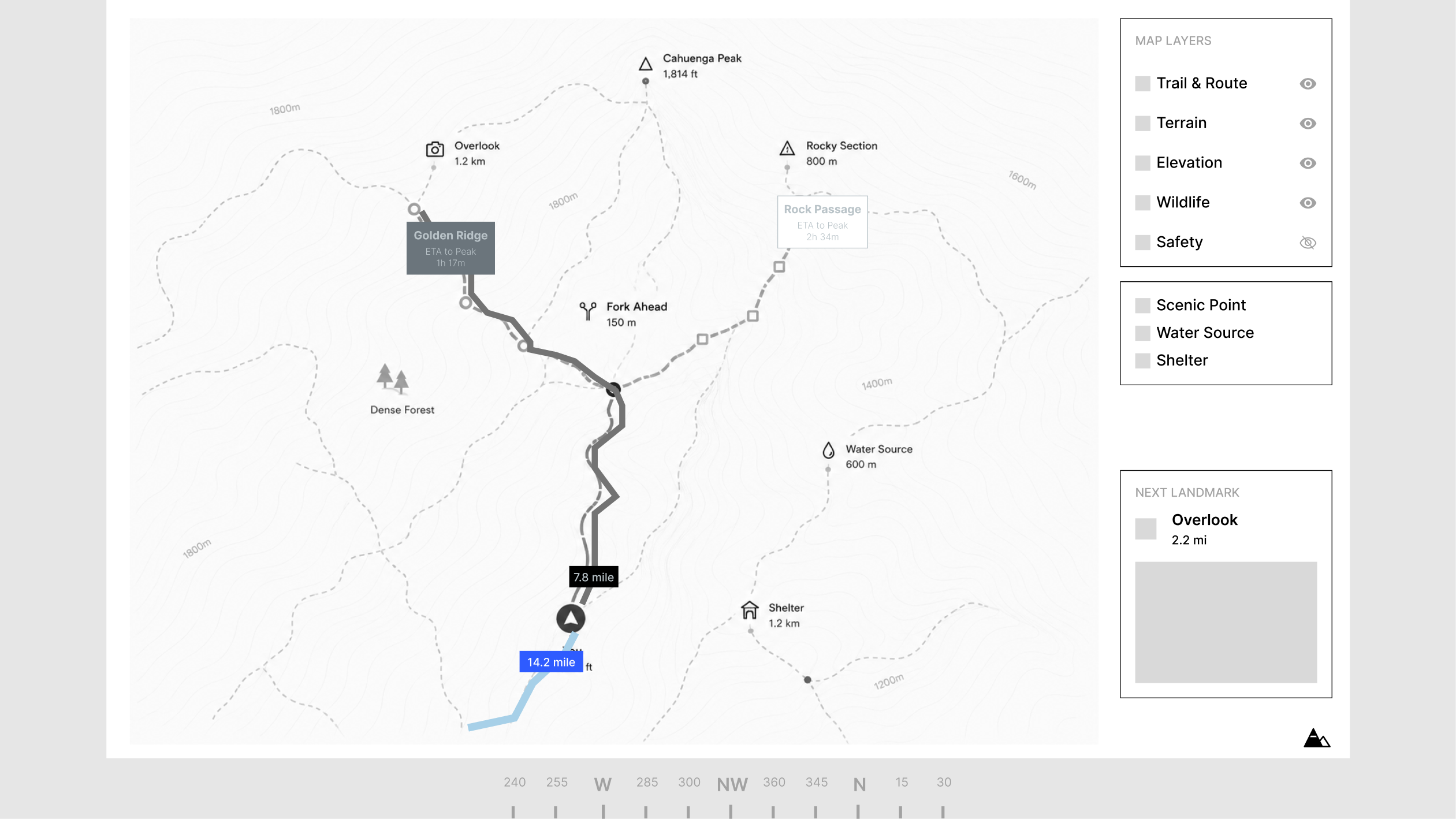
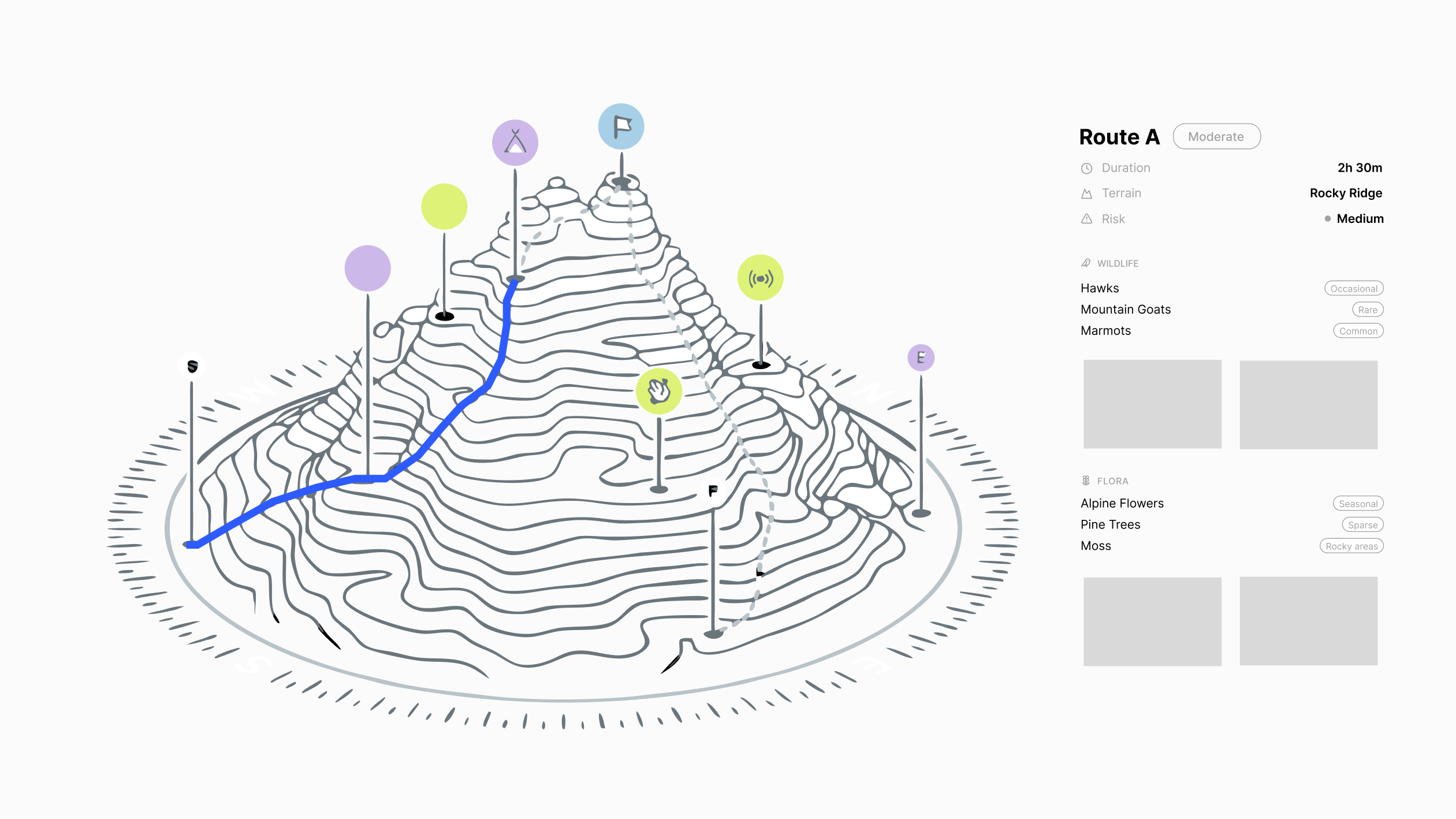
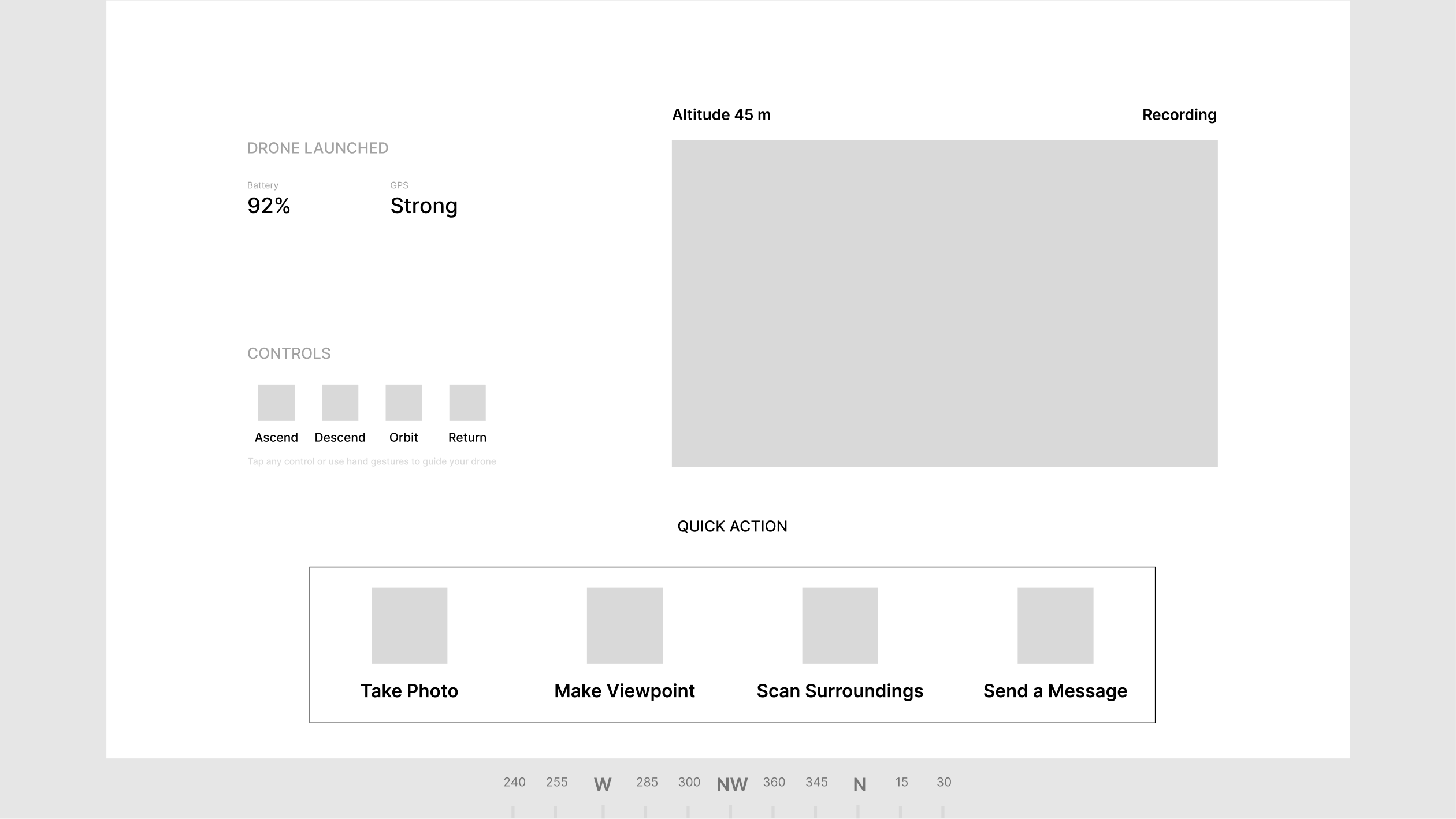
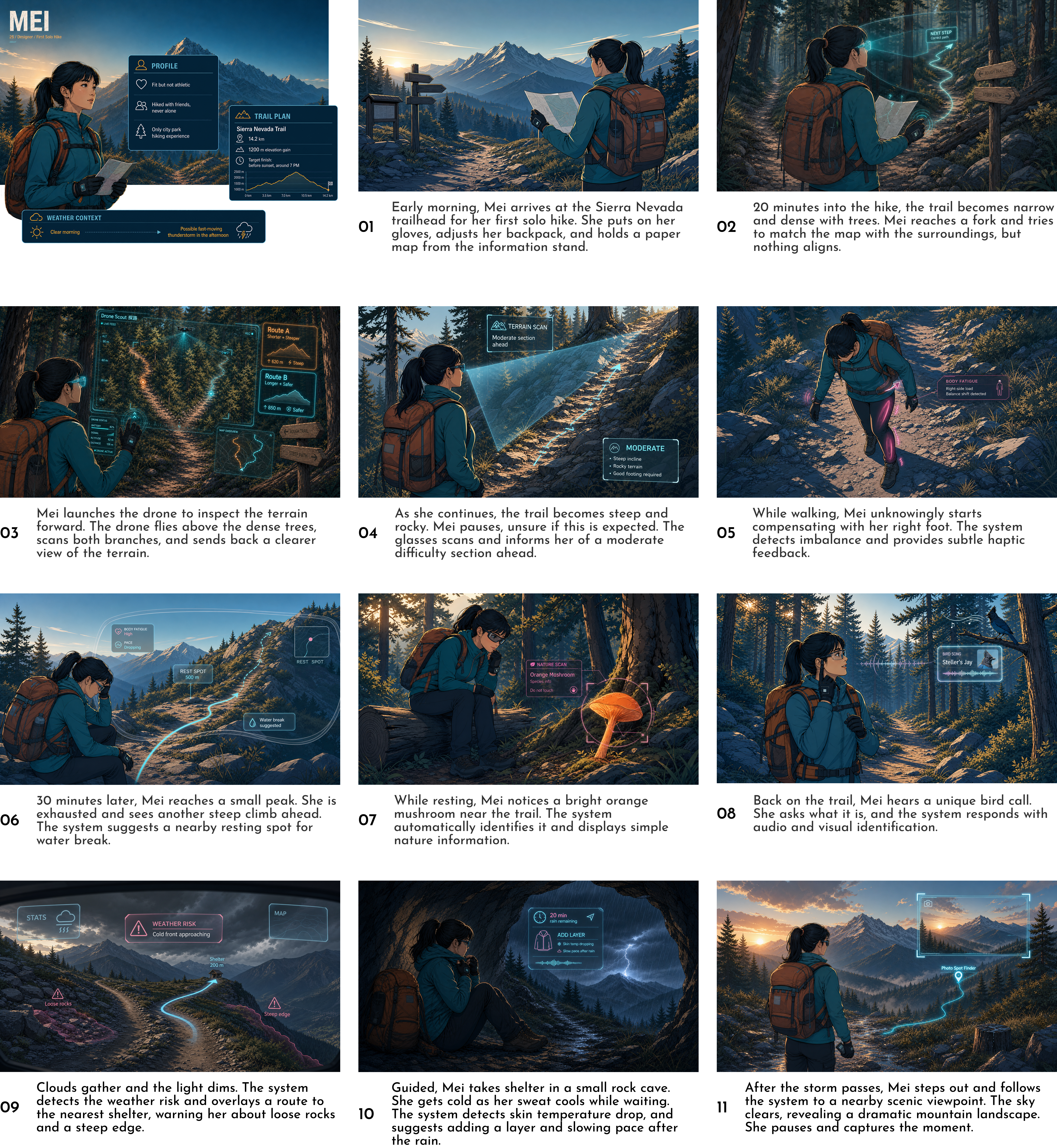
Storyboard
Final Design
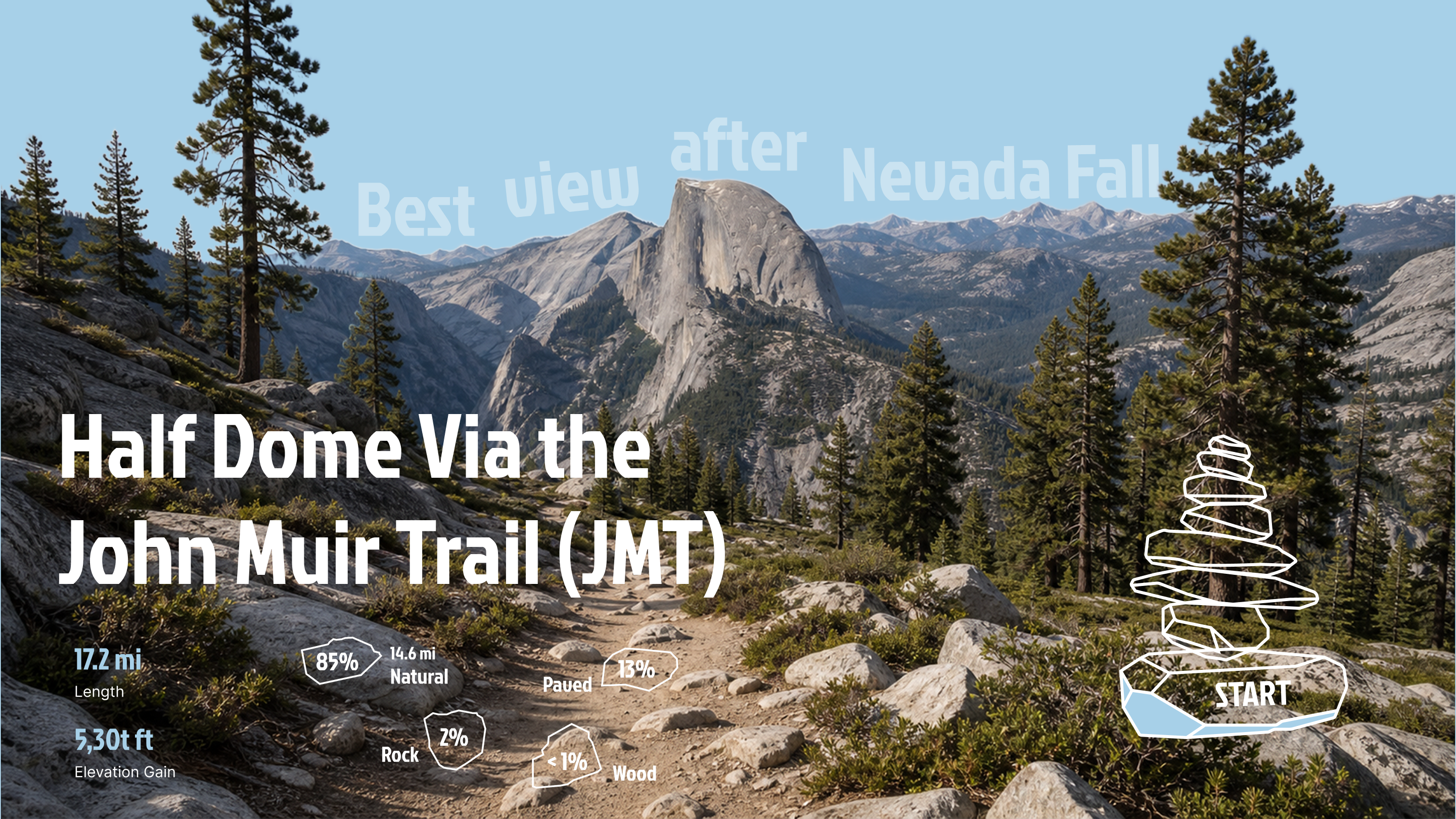
Onboarding
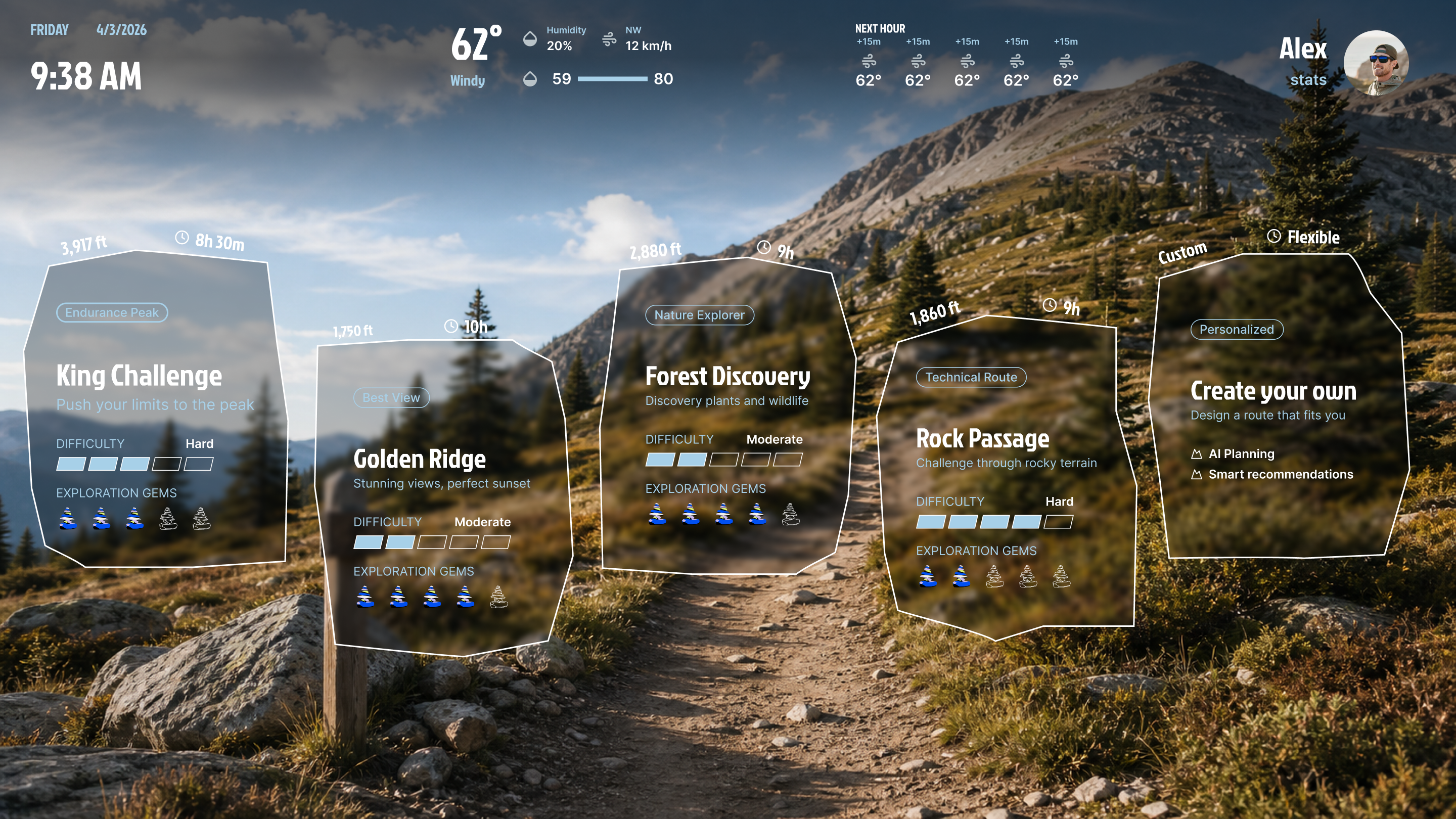
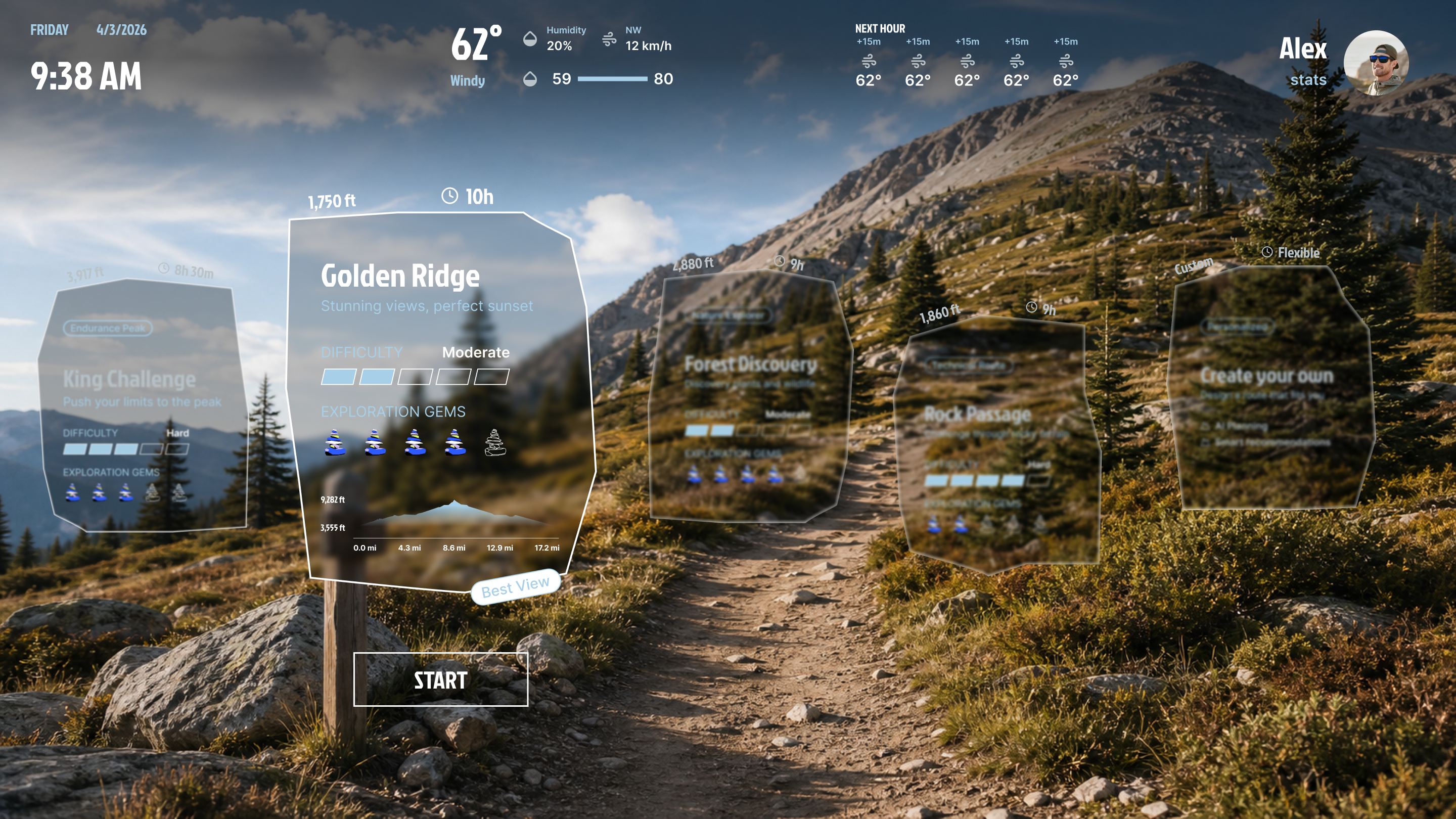
Pre Trip - Route Selection
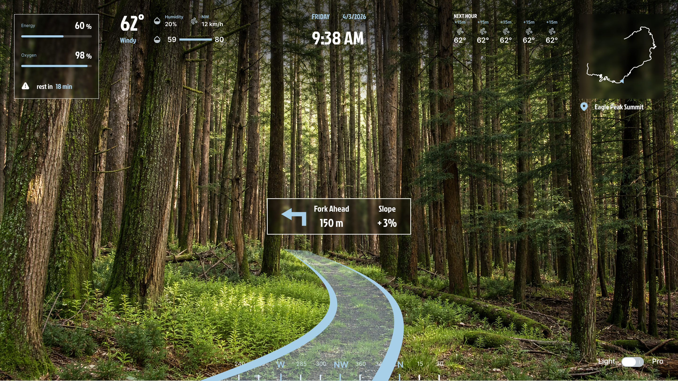
Dashboard - Light
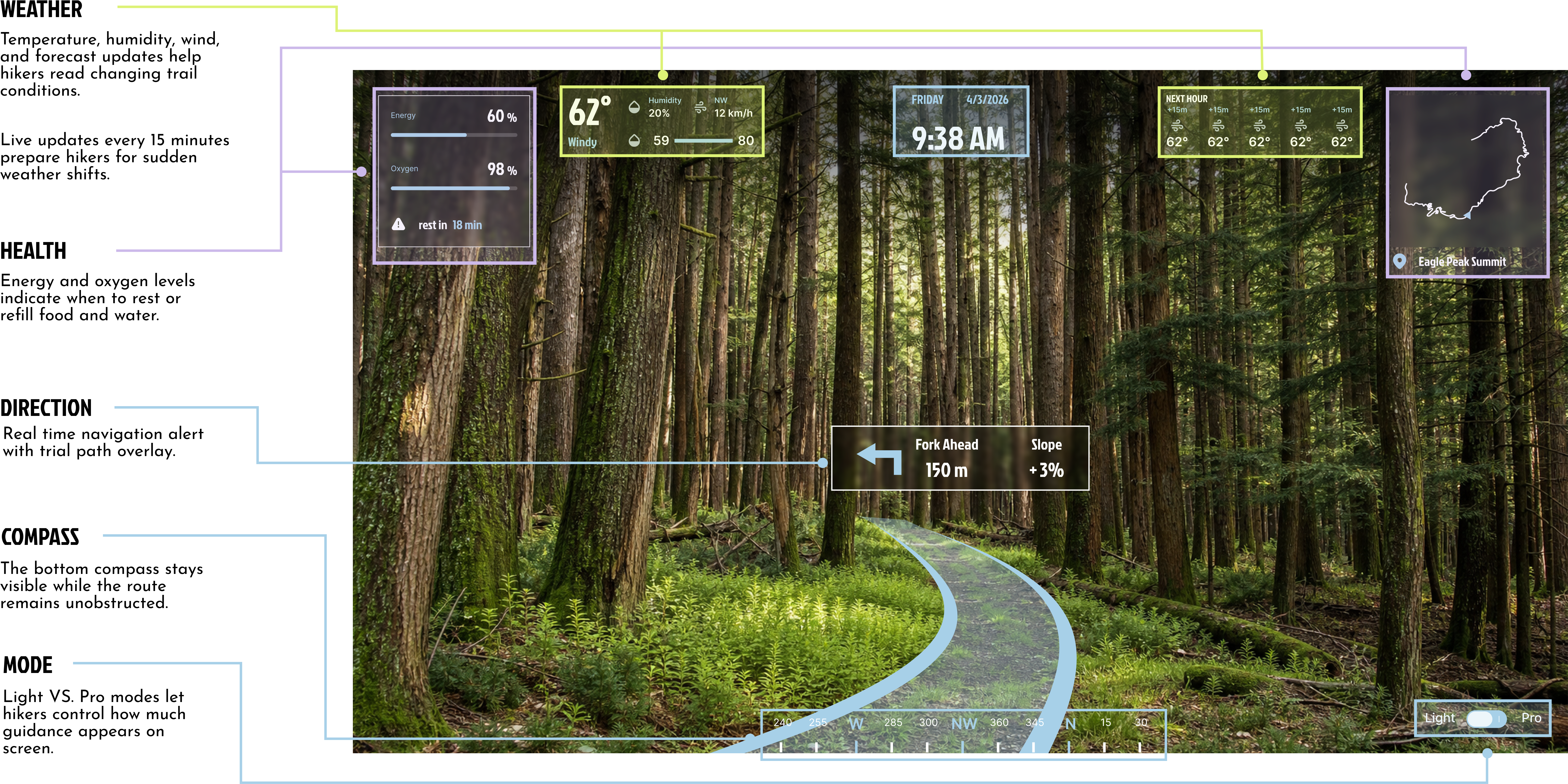
Dashboard - Pro